- 4,822

- Concord, CA
- kylehnat
Two weeks ago, I challenged a volcano...and I won. My head swollen with ego, I decided to tackle a much larger land-mass this weekend: the Olympic Peninsula. I've said on more than one occasion that I believe the Olympic Peninsula to be one of the most naturally-beautiful places on this planet. Usually when I make such a large claim, I don't much care to back it up (see: Opinions Forum, The). However, this time I felt that my claim deserved some proof.
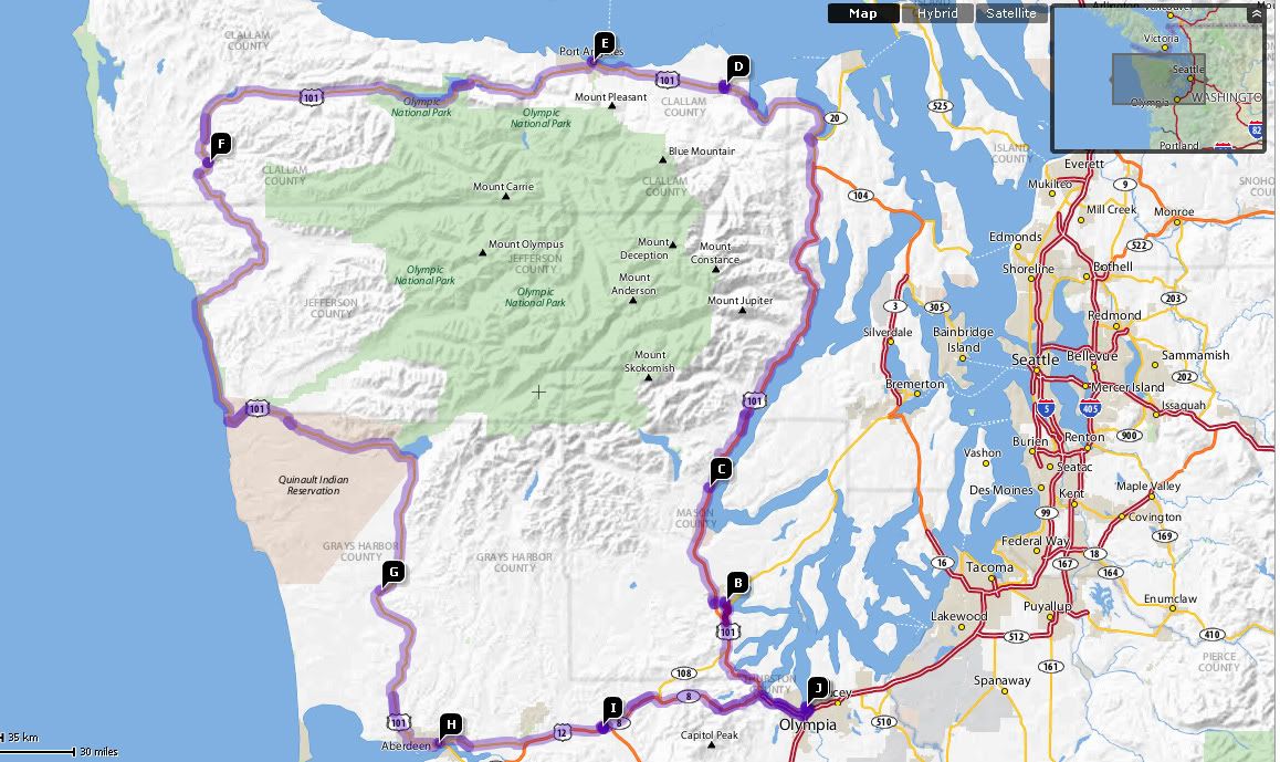
The Olympic Peninsula loop is something I've been meaning to do for a while. The drive requires decent weather and a whole day to burn (7+ hours). We're running out of summer in western Washington, so I figured it was now or never ('never' meaning next year). The loop consists of U.S. Highway 101, which tours the perimeter of the land for 280 miles, and Highways 12 and 8, which cut across the southern end of the peninsula, closing the circle. In total, it's about 330 miles. Here's a map, with a few key places highlighted:

Starting with Olympia in the bottom-right corner, and proceeding anti-clockwise:
A)Olympia
B)Shelton
C)Hoodsport
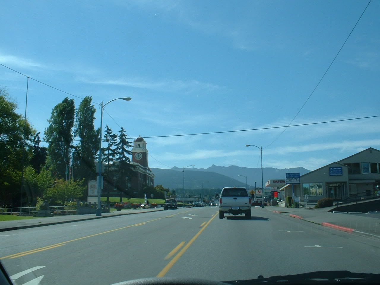
D)Sequim
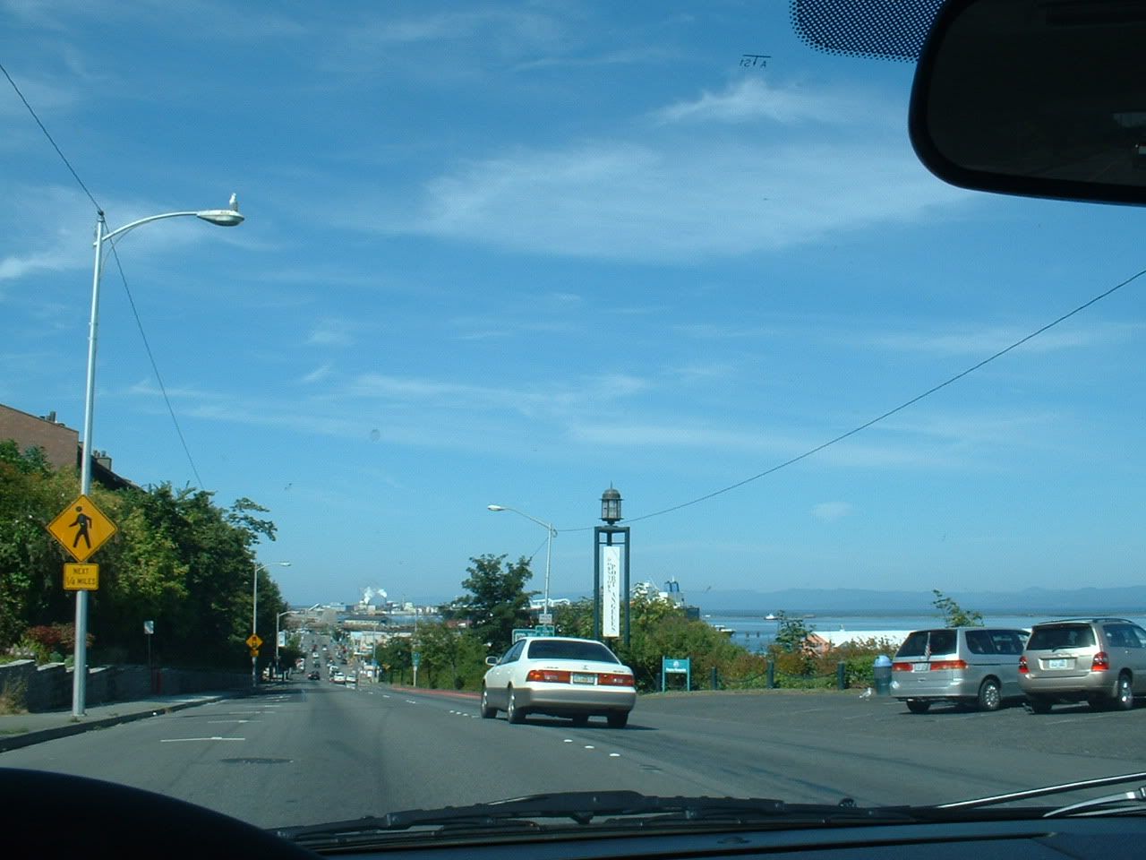
E)Port Angeles
F)Forks
G)Humptulips
H)Aberdeen
I)Elma
J)Olympia
A word of caution: This being a lengthy trip, I decided not to stop anywhere (except for a pit-stop and lunch). So, all of these pictures were taken from behind the wheel. Not all of these are completely in-focus, and the windshield gets progressively more disgusting as we go along") .
.
It begins....

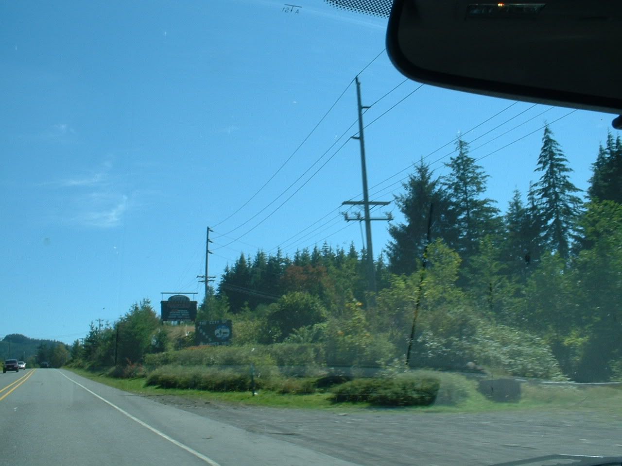
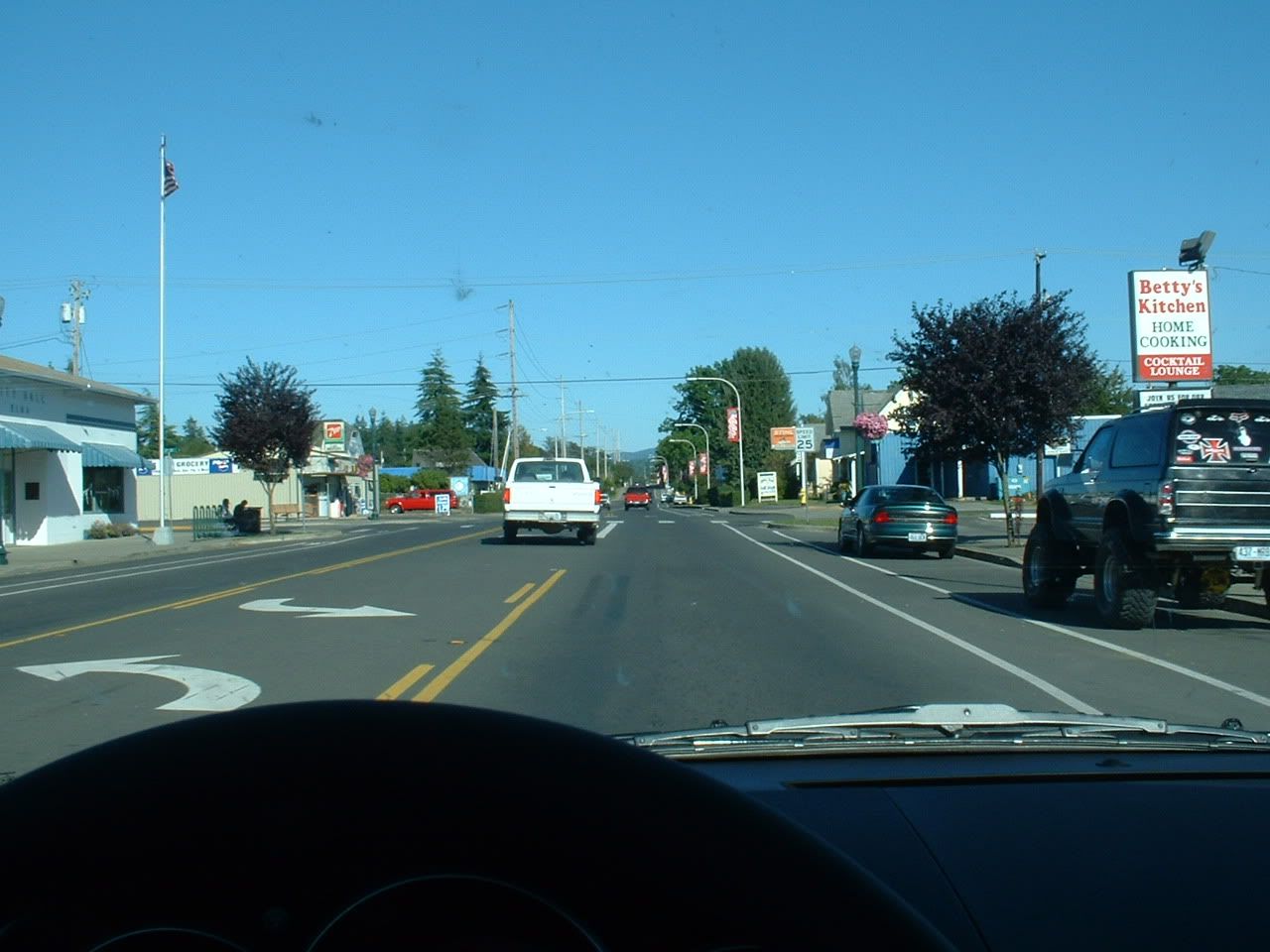
That sign promises "Ocean Beaches" straight ahead, but I can't be fooled. That road leads to work. This being Saturday, I think I'll veer off to the right...

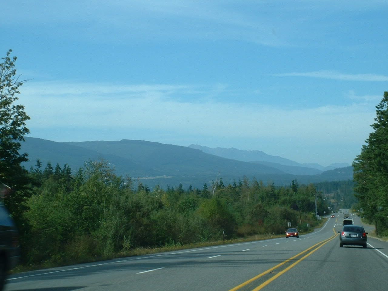
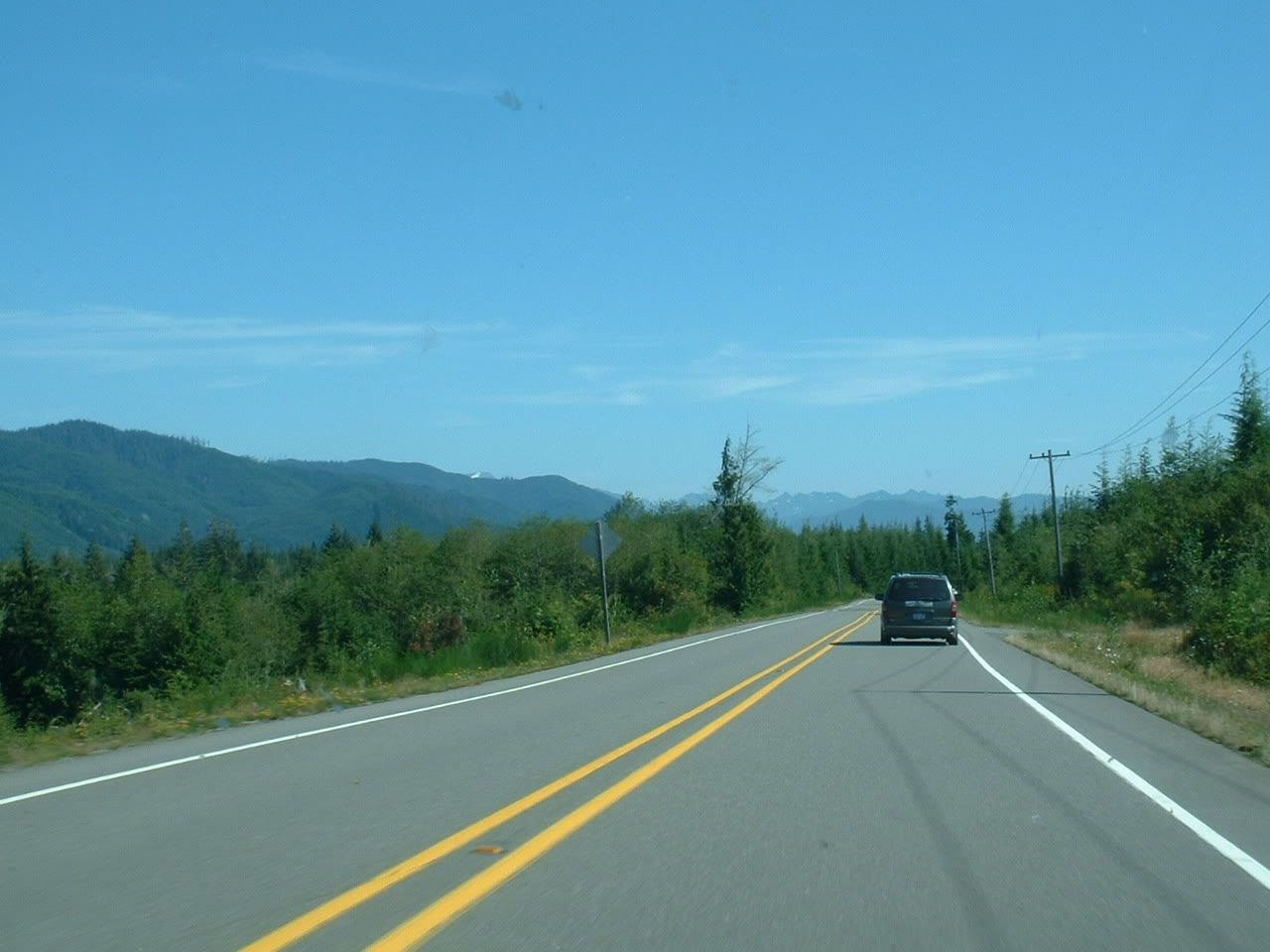
A few miles up the road in Shelton, the Olympic Mountains peer over the horizon.


MAAAAAAAAAAT-LOOOOOOOOOOOOCK!!!

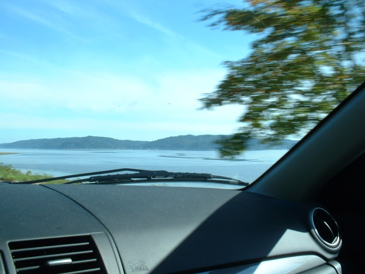
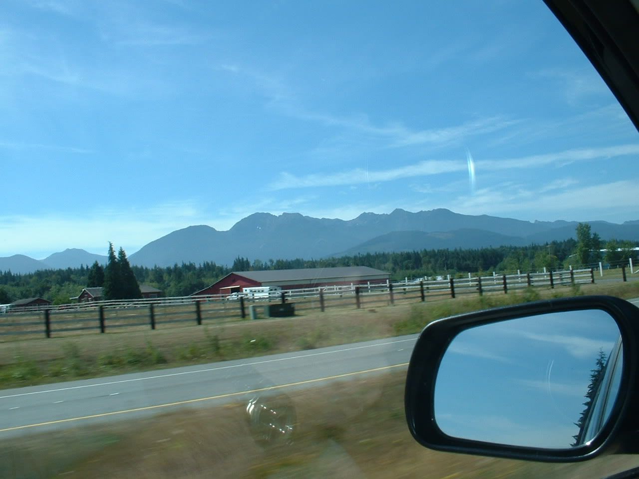
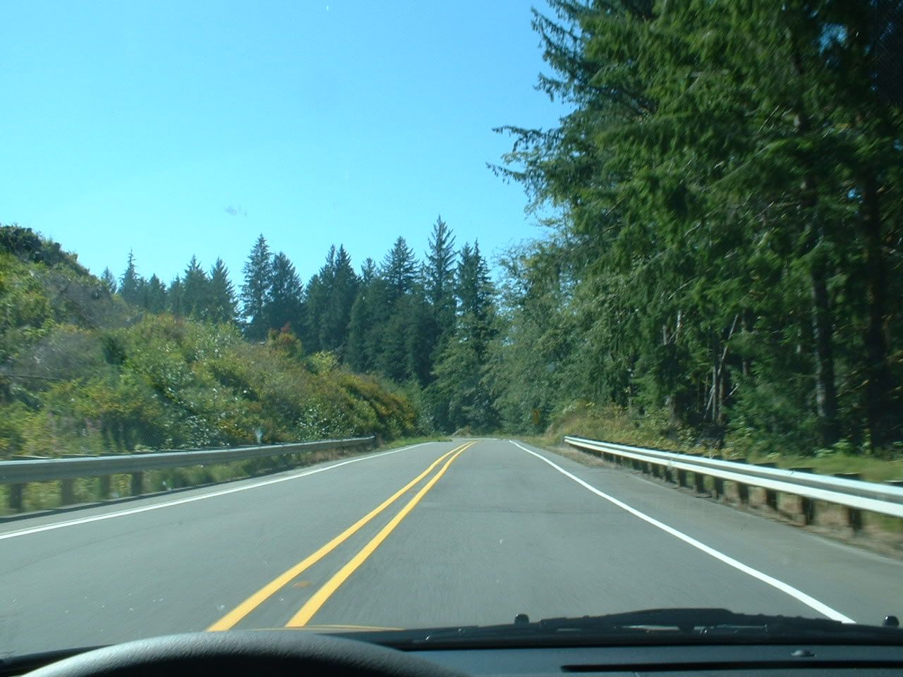
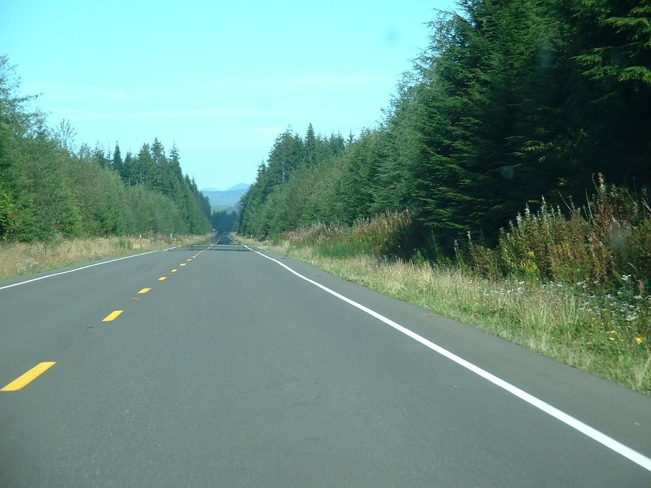
Just south of Hoodsport (name stolen from New England), the road runs along the Hood Canal.
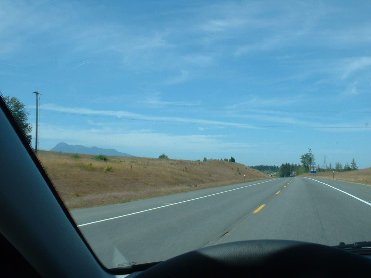
Between Hoodsport and Sequim...


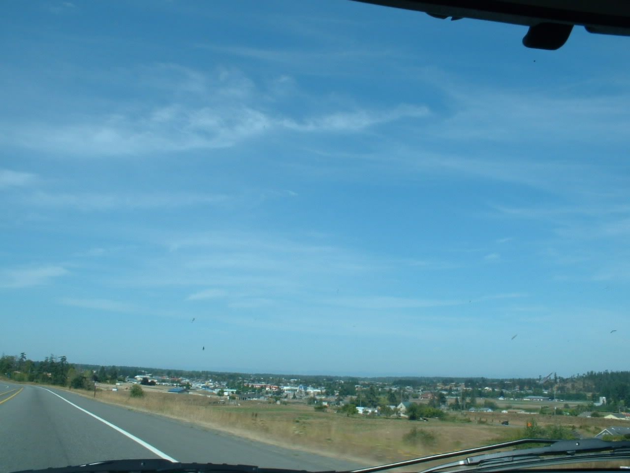
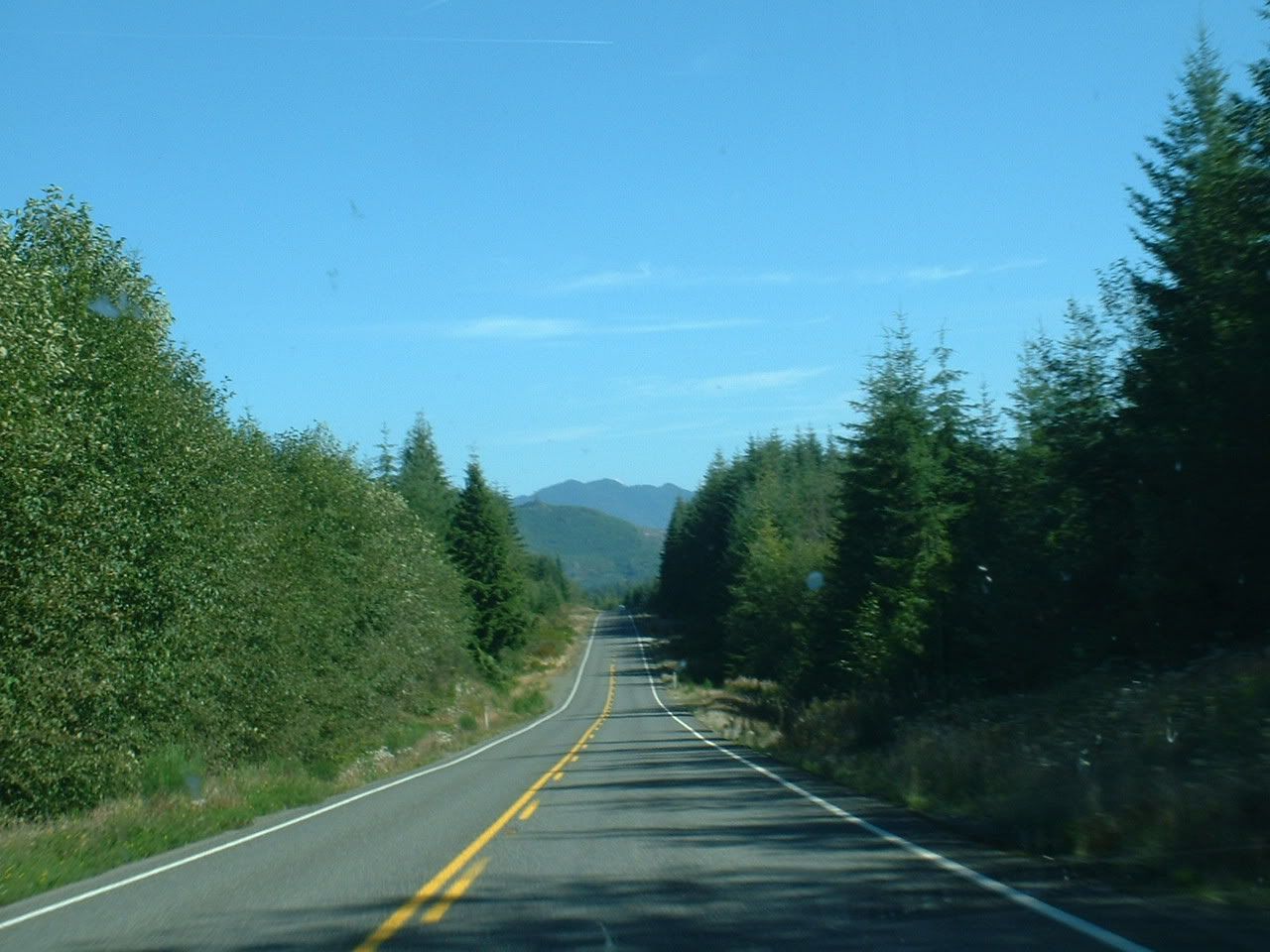
Sequim, WA (pronounced: "skwim") is one of the most extreme examples of a rain-shadow. While the entire western half of the state is "evergreen" from all of the winter rain we're subjected to, Sequim gets ~250 sunny days each year, and less than 12 inches of rain. For contrast, Seattle gets 70 sunny days, and 40 inches of rain. As storm after storm swoops in off the Pacific Ocean, they slam into the western slopes of the Olympics. All of the moisture gets squeezed out, and a big hole is punched in the clouds on the leeward side...right where Sequim is. As nice as that sounds, the residents of Sequim must deal with the fact that their town is known mostly for its casinos and drunk drivers. And it has a ridiculous-sounding name. Nevertheless, Sequim is much browner than anywhere else in western Washington:


A few miles west of Sequim is Port Angeles. This is a quaint little maritime city on the Strait of Juan de Fuca. It's main claim to fame is that the border guards there caught that terrorist in 1999, coming in on a ferry from Victoria, British Columbia. He had a van full of explosives, was acting erratically, and got thrown in the slammer for being a dumbass. He was on his way to blow up LAX. Now, this probably lulled us into a false sense of security pre-9/11, because this douchebag made us think that all terrorists are clinically retarded. Surely nobody would be dumb enough to think that they could destroy one of the country's largest airports with single van full of horse manure. But I digress...


Yes, please.

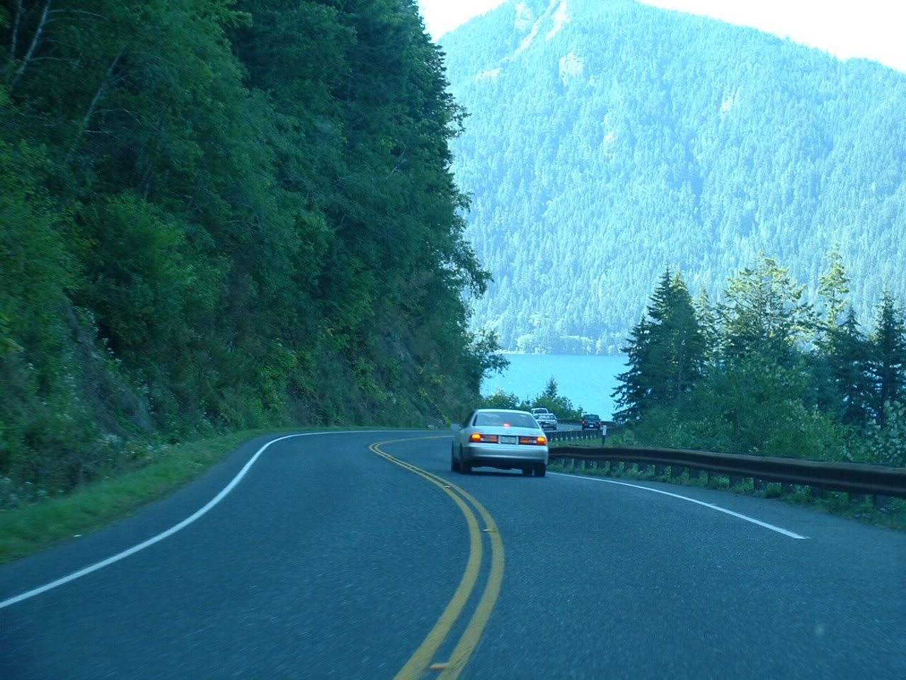
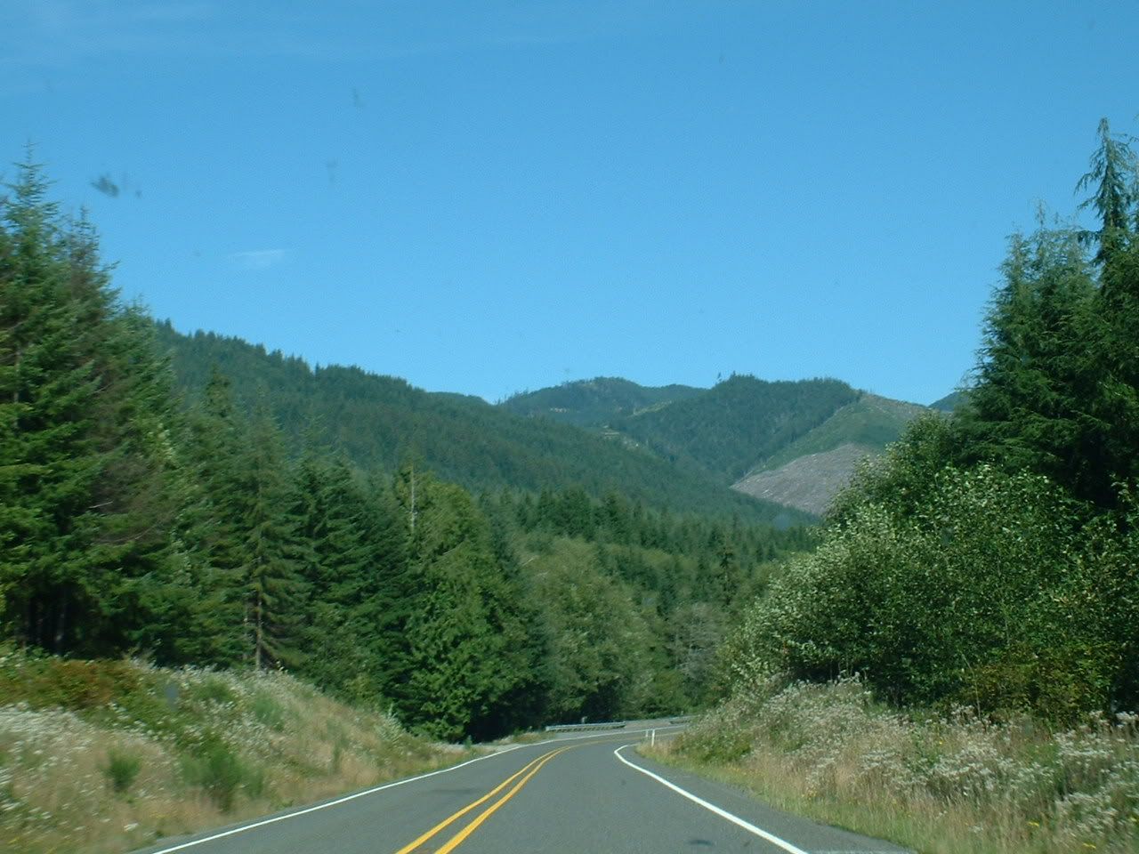
Just inside Olympic National Park lies Crescent Lake. Someday I will buy the whole thing, kick everyone out, and turn the road around it into a private race track.
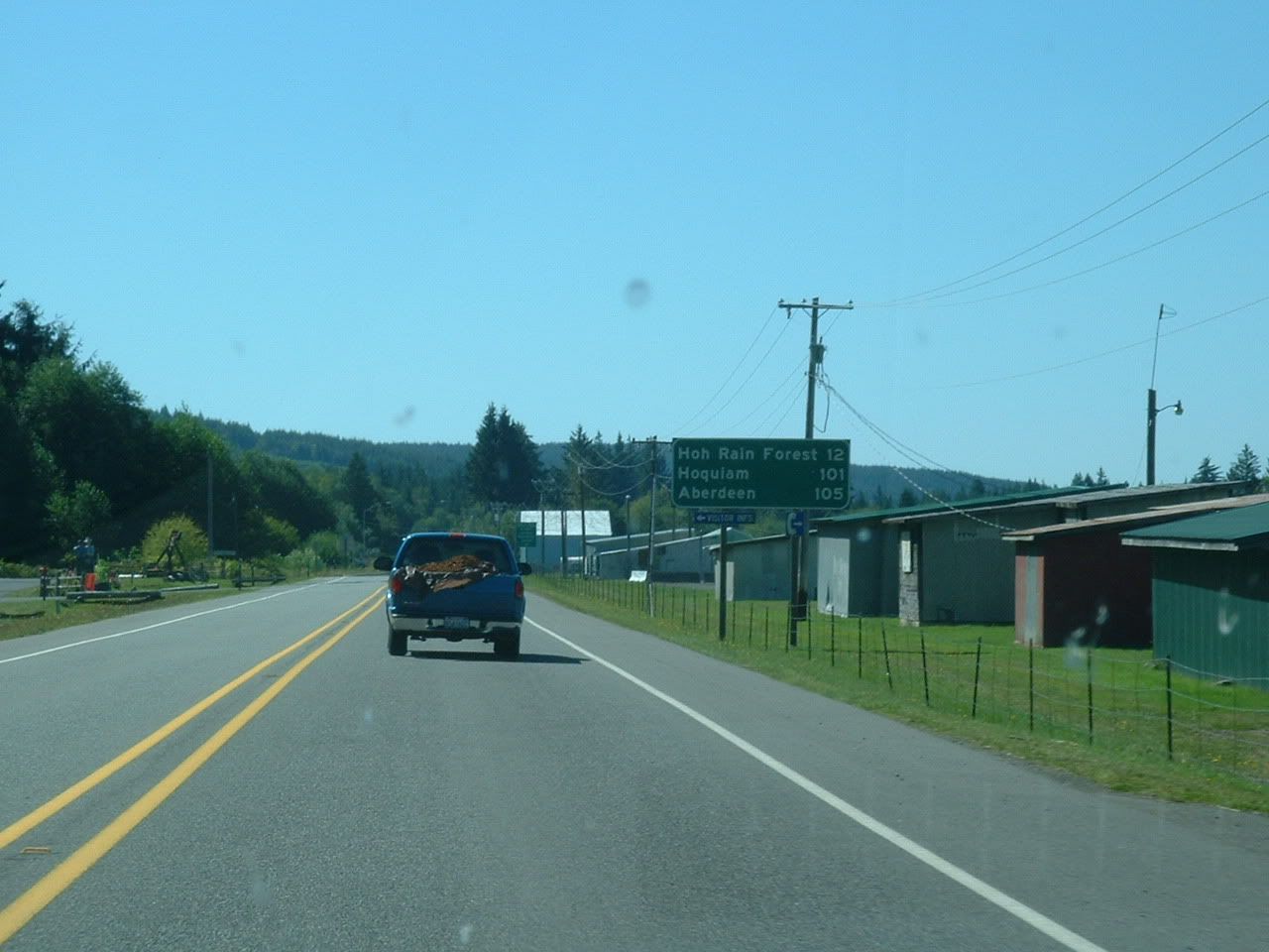
Remember all of that rain that didn't make it Sequim? Well, here is where it all ends up: Forks. These poor saps have 120 inches of rain dumped on them each year, making Forks one of the wettest inhabited places in the United States. The distance between sunny Sequim and soggy Forks? 60 miles, as the crow flies.


I stopped by City Hall to file the suggestion that they change their name to Sporks. I hope to see it on the November ballot. What do the local youth do for fun? Spraypaint "BAD SEX SUX" on the bathroom wall of a rest-stop, apparently. While I can't disagree with this well-crafted argument, I can disagree with their lackadaisical spelling. Perhaps they should have spent that time in school.

Who you callin' a Hoh?

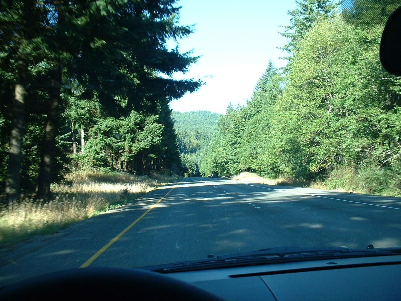
Driving through the western edge of the Hoh Rain Forest. By the way, that's pronounced like the garden tool (or the whore-ish woman). If you didn't understand my caption on the picture above this one, you might now. Anyway, if you didn't know already, Washington has rain forests. Even better yet, our rain forests don't have poisonous frogs, dart-blowing natives, or malaria. If you're wondering what a temperate rain forest looks like, imagine a tropical rain forest, and then temperate-ize it a bit. Basically, it's really green, and has a lot of stuff that isn't found anywhere else in the world.
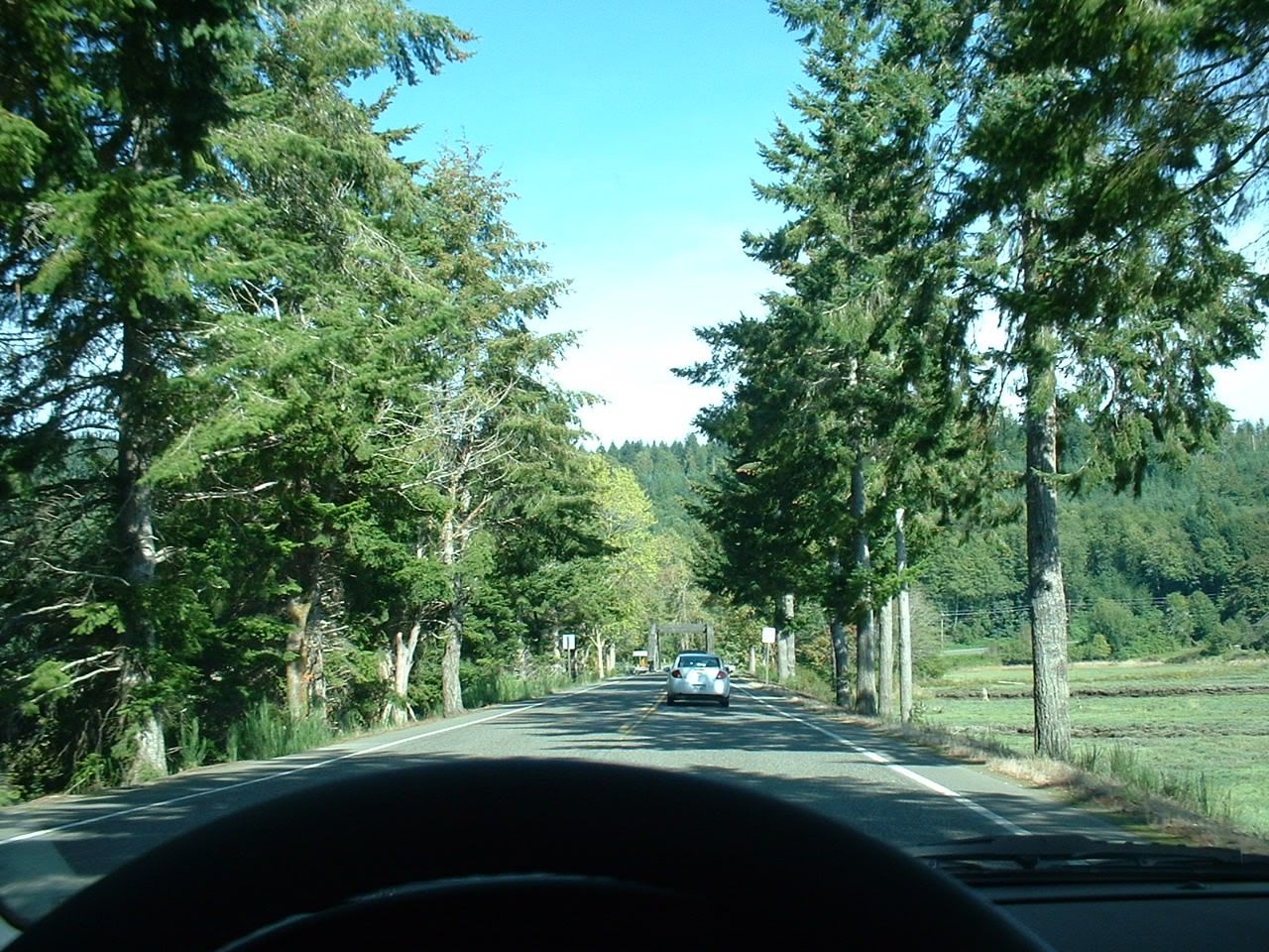
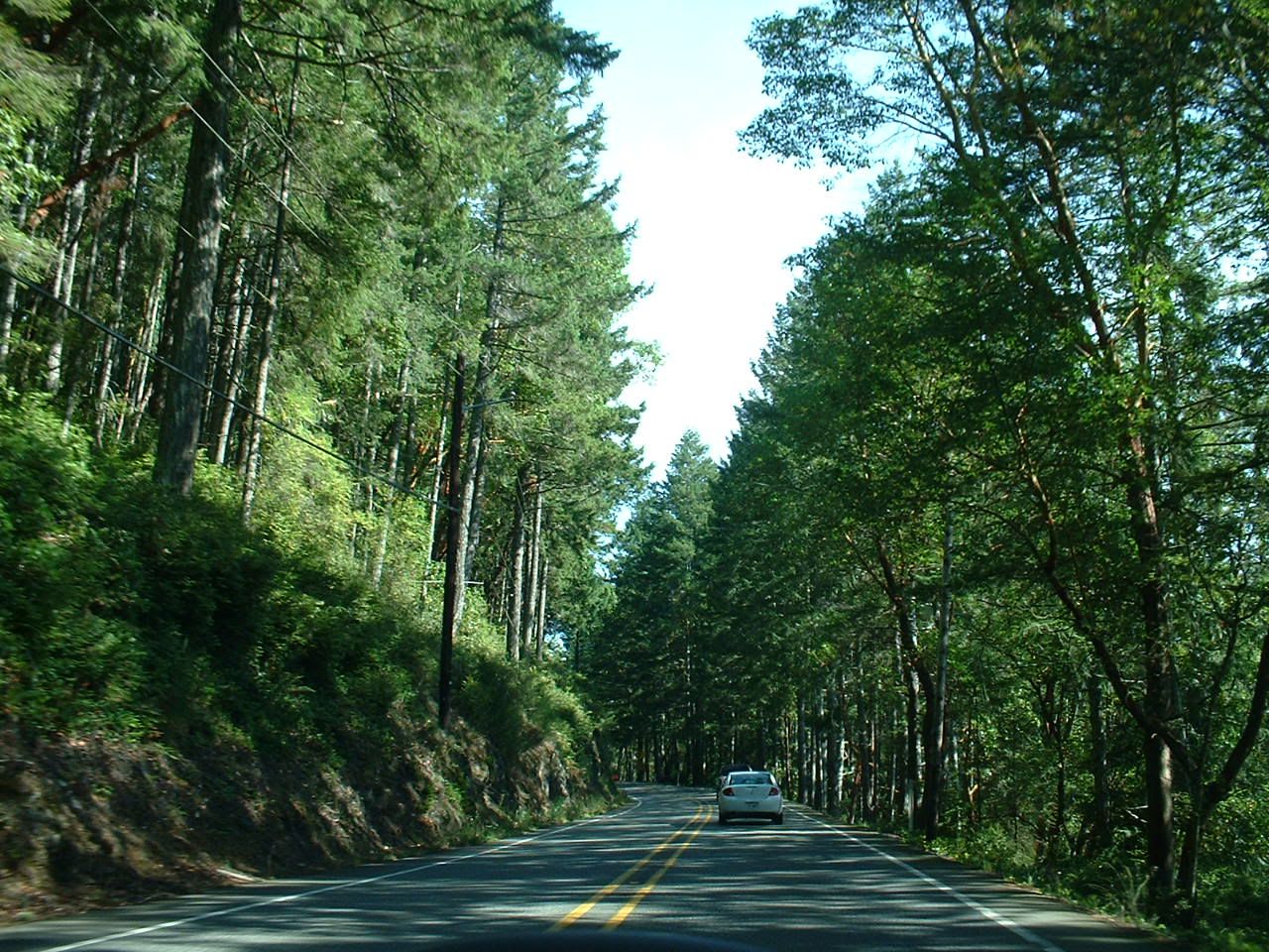
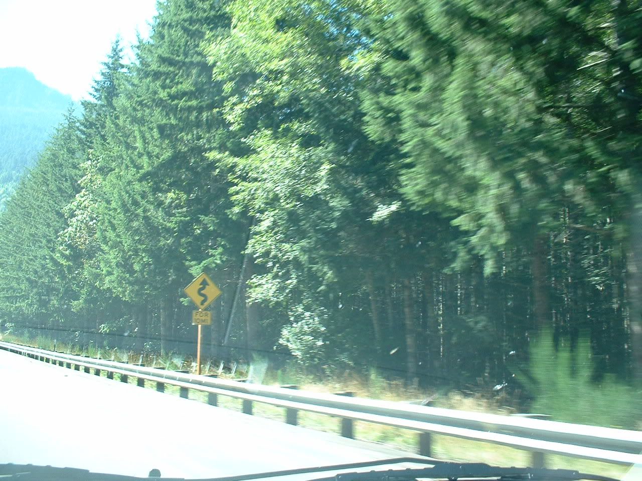
More scenery:


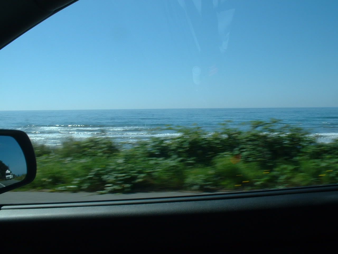
Here is a mud puddle called the Pacific Ocean:


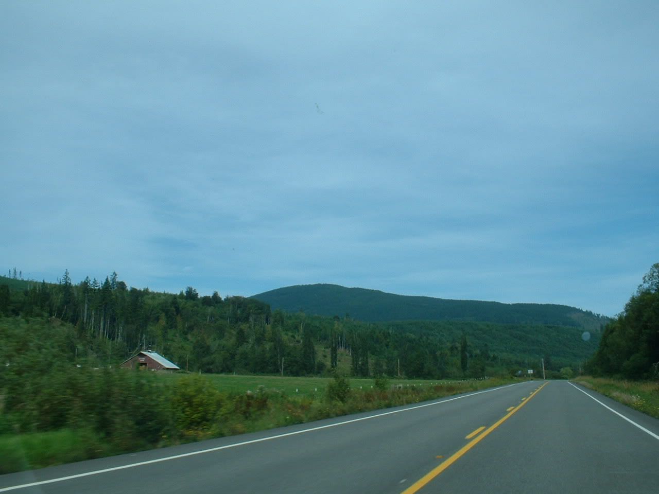
If you thought Iowa was pretty, take a look at these:


I'm sorry, but no Welsh, Scottish, or English name can beat Humptulips, the flower porn capital of the world.

The sprawling metropolis of Humptulips reveals itself.

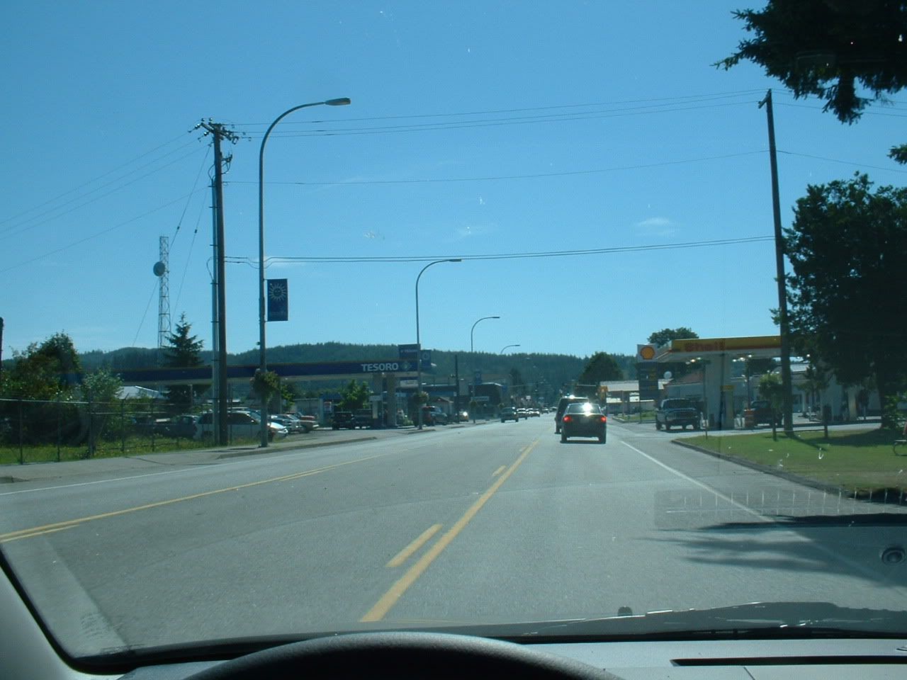
Aberdeen, WA. This is the birthplace of Kurt Cobain, which (sadly) explains an awful lot. The first Wal-Mart in Washington state was built here, which pretty much tells you everything you need to know about what kind of place Aberdeen is. One time I was driving through here, and a drugged-out bum was wandering around in the street, trying purposely to get hit by cars. I hope he succeeded.

In the distance is the unfinished Satsop nuclear plant.

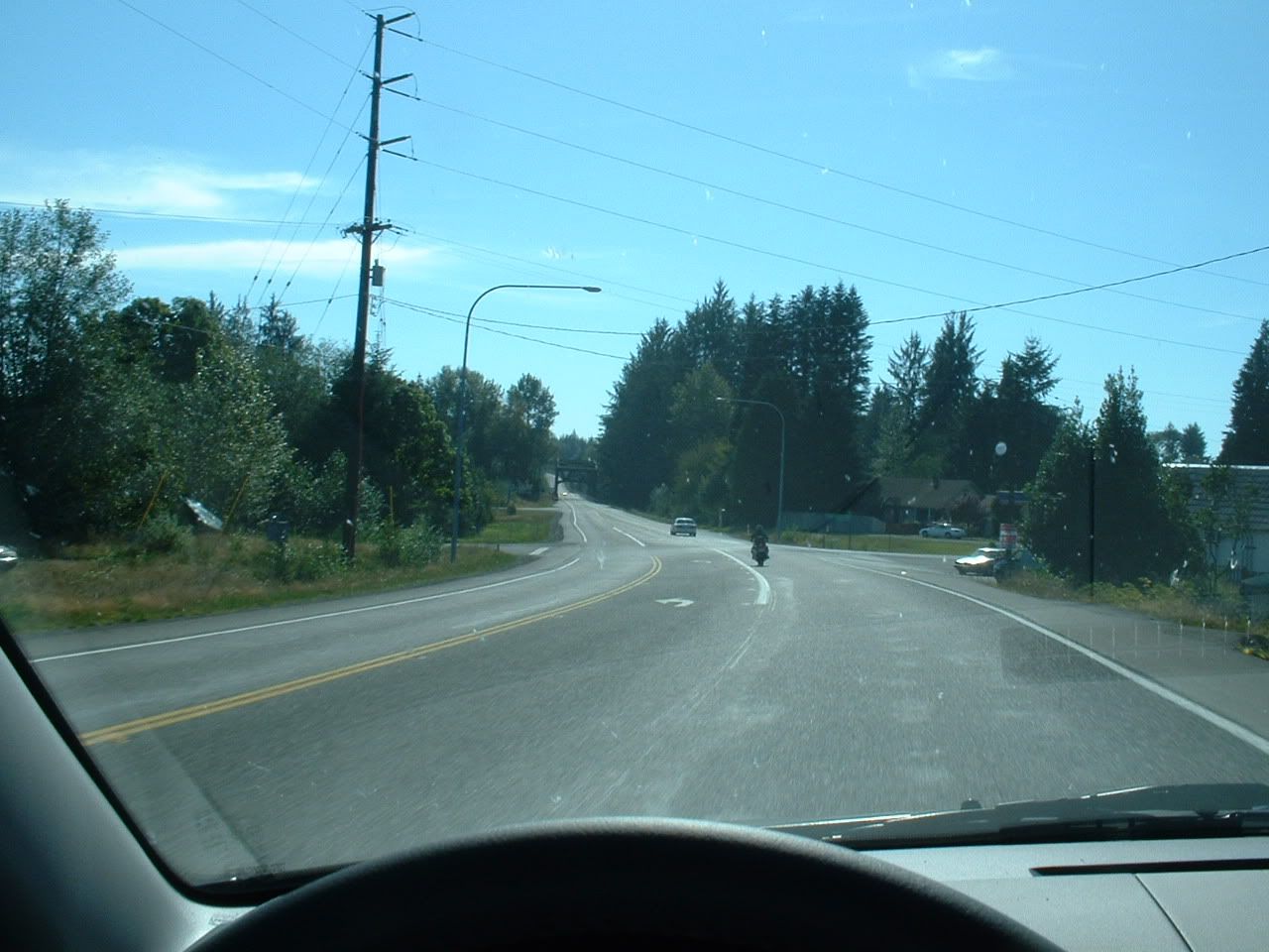
Hey, wait a minute...

Oh 🤬! I ended up at work, after all!

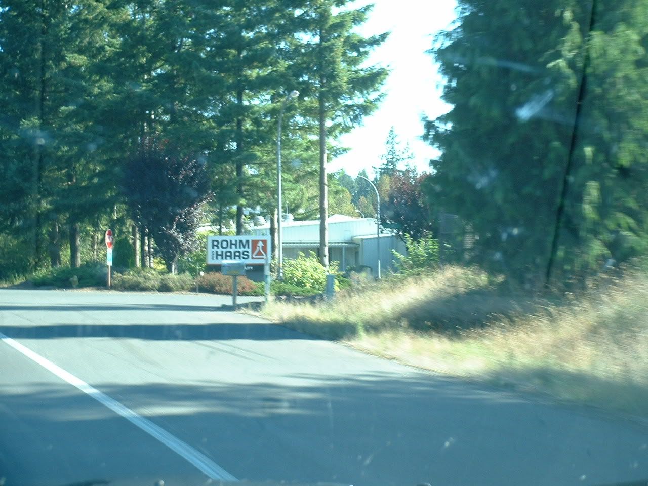
Nothing beats a good-'n-grimey chemical plant .
.

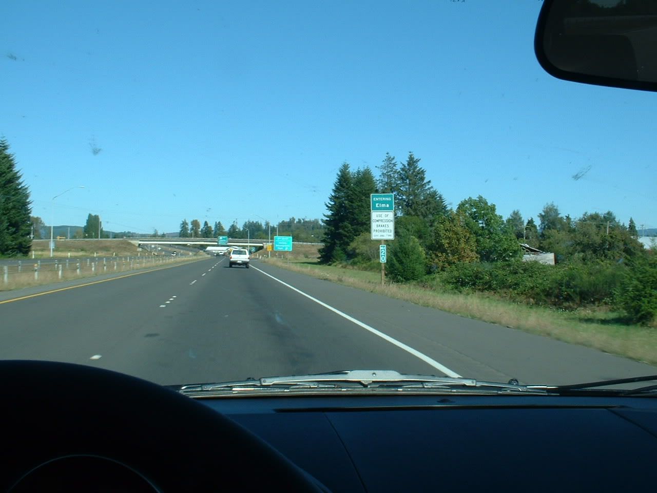
Elma is a cute little rural town, which is precisely why I decided not to live there.

My daily commute sucks, doesn't it?.
This concludes my argument that Washington state kicks ass. Rebuttals are welcome, but I won't be listening.
The Olympic Peninsula loop is something I've been meaning to do for a while. The drive requires decent weather and a whole day to burn (7+ hours). We're running out of summer in western Washington, so I figured it was now or never ('never' meaning next year). The loop consists of U.S. Highway 101, which tours the perimeter of the land for 280 miles, and Highways 12 and 8, which cut across the southern end of the peninsula, closing the circle. In total, it's about 330 miles. Here's a map, with a few key places highlighted:
Starting with Olympia in the bottom-right corner, and proceeding anti-clockwise:
A)Olympia
B)Shelton
C)Hoodsport
D)Sequim
E)Port Angeles
F)Forks
G)Humptulips
H)Aberdeen
I)Elma
J)Olympia
A word of caution: This being a lengthy trip, I decided not to stop anywhere (except for a pit-stop and lunch). So, all of these pictures were taken from behind the wheel. Not all of these are completely in-focus, and the windshield gets progressively more disgusting as we go along
.It begins....
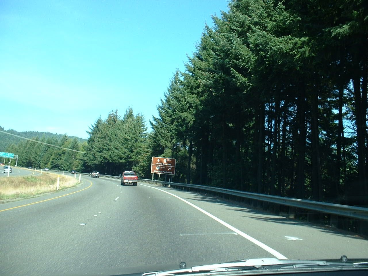
That sign promises "Ocean Beaches" straight ahead, but I can't be fooled. That road leads to work. This being Saturday, I think I'll veer off to the right...
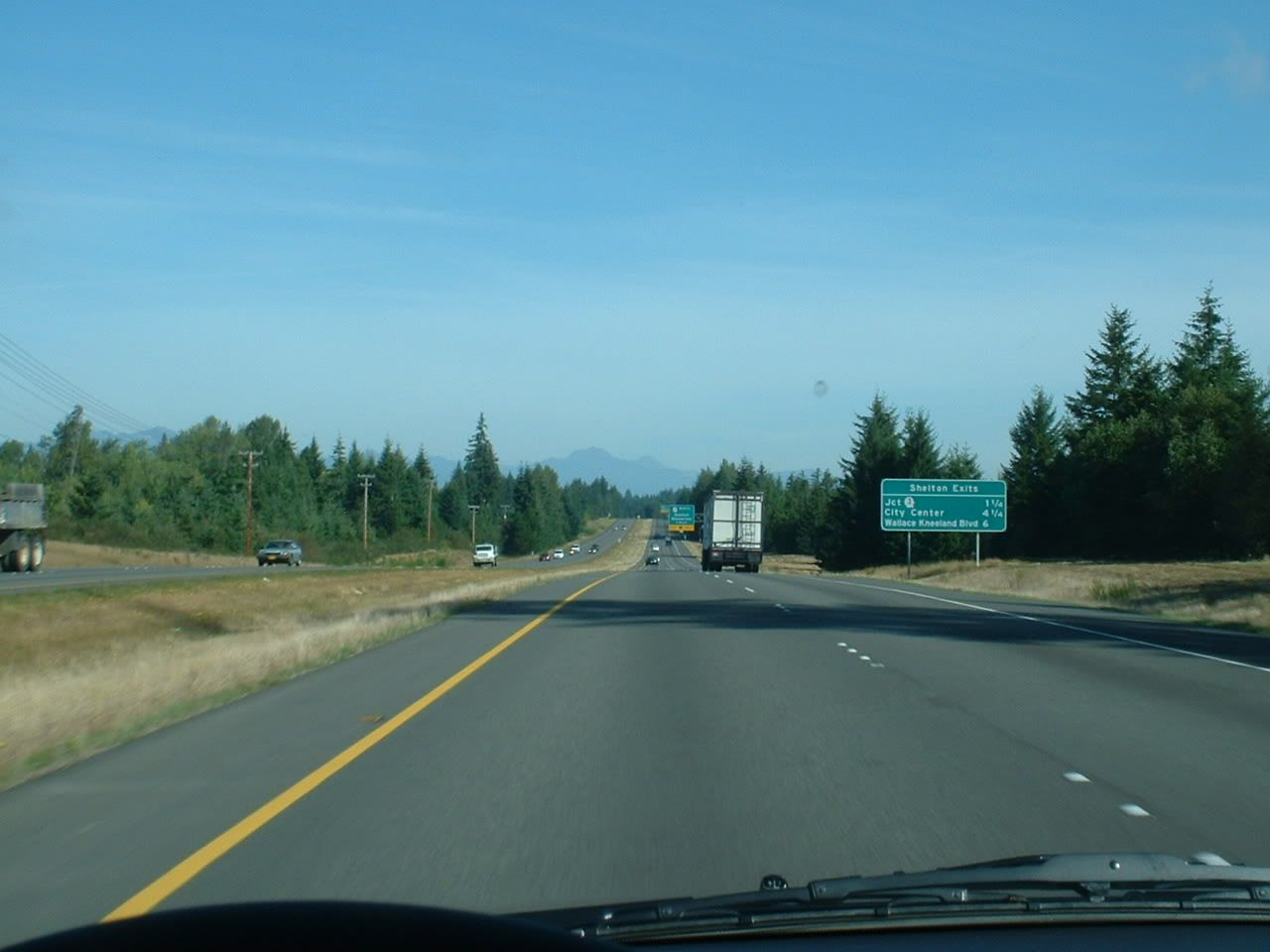
A few miles up the road in Shelton, the Olympic Mountains peer over the horizon.
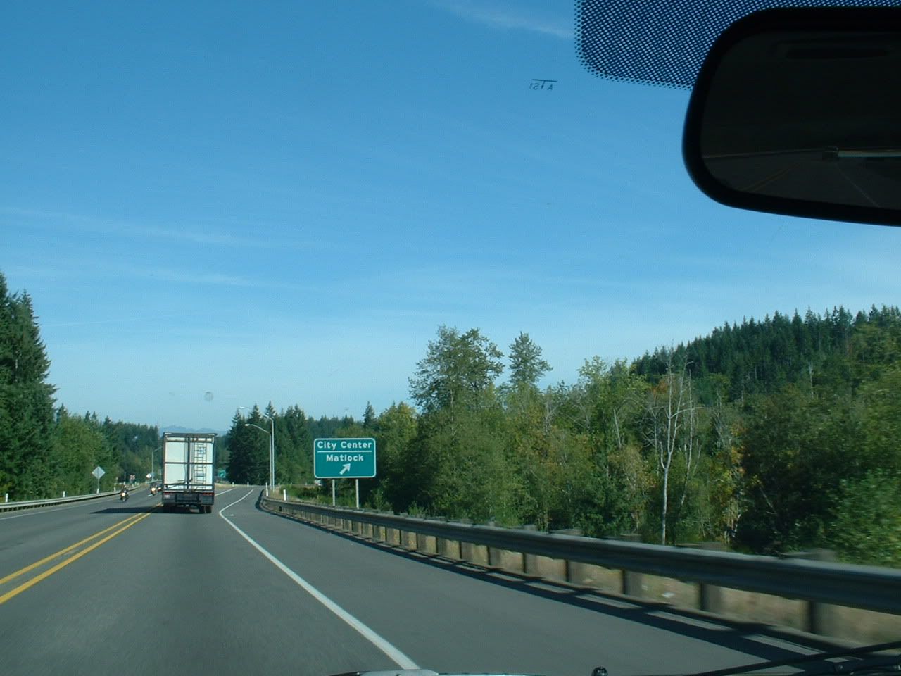
MAAAAAAAAAAT-LOOOOOOOOOOOOCK!!!
Just south of Hoodsport (name stolen from New England), the road runs along the Hood Canal.
Between Hoodsport and Sequim...
Sequim, WA (pronounced: "skwim") is one of the most extreme examples of a rain-shadow. While the entire western half of the state is "evergreen" from all of the winter rain we're subjected to, Sequim gets ~250 sunny days each year, and less than 12 inches of rain. For contrast, Seattle gets 70 sunny days, and 40 inches of rain. As storm after storm swoops in off the Pacific Ocean, they slam into the western slopes of the Olympics. All of the moisture gets squeezed out, and a big hole is punched in the clouds on the leeward side...right where Sequim is. As nice as that sounds, the residents of Sequim must deal with the fact that their town is known mostly for its casinos and drunk drivers. And it has a ridiculous-sounding name. Nevertheless, Sequim is much browner than anywhere else in western Washington:
A few miles west of Sequim is Port Angeles. This is a quaint little maritime city on the Strait of Juan de Fuca. It's main claim to fame is that the border guards there caught that terrorist in 1999, coming in on a ferry from Victoria, British Columbia. He had a van full of explosives, was acting erratically, and got thrown in the slammer for being a dumbass. He was on his way to blow up LAX. Now, this probably lulled us into a false sense of security pre-9/11, because this douchebag made us think that all terrorists are clinically retarded. Surely nobody would be dumb enough to think that they could destroy one of the country's largest airports with single van full of horse manure. But I digress...
Yes, please.
Just inside Olympic National Park lies Crescent Lake. Someday I will buy the whole thing, kick everyone out, and turn the road around it into a private race track.
Remember all of that rain that didn't make it Sequim? Well, here is where it all ends up: Forks. These poor saps have 120 inches of rain dumped on them each year, making Forks one of the wettest inhabited places in the United States. The distance between sunny Sequim and soggy Forks? 60 miles, as the crow flies.
I stopped by City Hall to file the suggestion that they change their name to Sporks. I hope to see it on the November ballot. What do the local youth do for fun? Spraypaint "BAD SEX SUX" on the bathroom wall of a rest-stop, apparently. While I can't disagree with this well-crafted argument, I can disagree with their lackadaisical spelling. Perhaps they should have spent that time in school.
Who you callin' a Hoh?
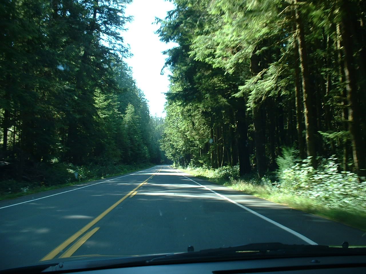
Driving through the western edge of the Hoh Rain Forest. By the way, that's pronounced like the garden tool (or the whore-ish woman). If you didn't understand my caption on the picture above this one, you might now. Anyway, if you didn't know already, Washington has rain forests. Even better yet, our rain forests don't have poisonous frogs, dart-blowing natives, or malaria. If you're wondering what a temperate rain forest looks like, imagine a tropical rain forest, and then temperate-ize it a bit. Basically, it's really green, and has a lot of stuff that isn't found anywhere else in the world.
More scenery:
Here is a mud puddle called the Pacific Ocean:
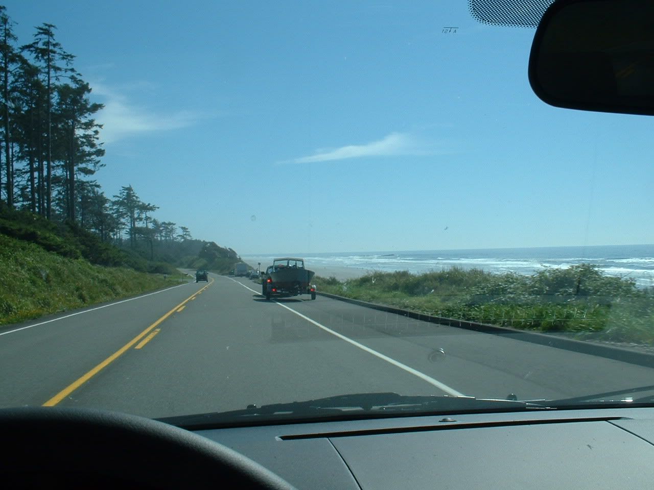
If you thought Iowa was pretty, take a look at these:

I'm sorry, but no Welsh, Scottish, or English name can beat Humptulips, the flower porn capital of the world.
The sprawling metropolis of Humptulips reveals itself.
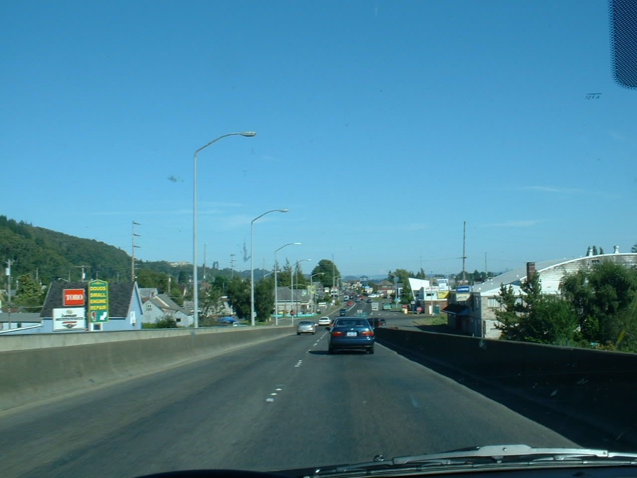
Aberdeen, WA. This is the birthplace of Kurt Cobain, which (sadly) explains an awful lot. The first Wal-Mart in Washington state was built here, which pretty much tells you everything you need to know about what kind of place Aberdeen is. One time I was driving through here, and a drugged-out bum was wandering around in the street, trying purposely to get hit by cars. I hope he succeeded.
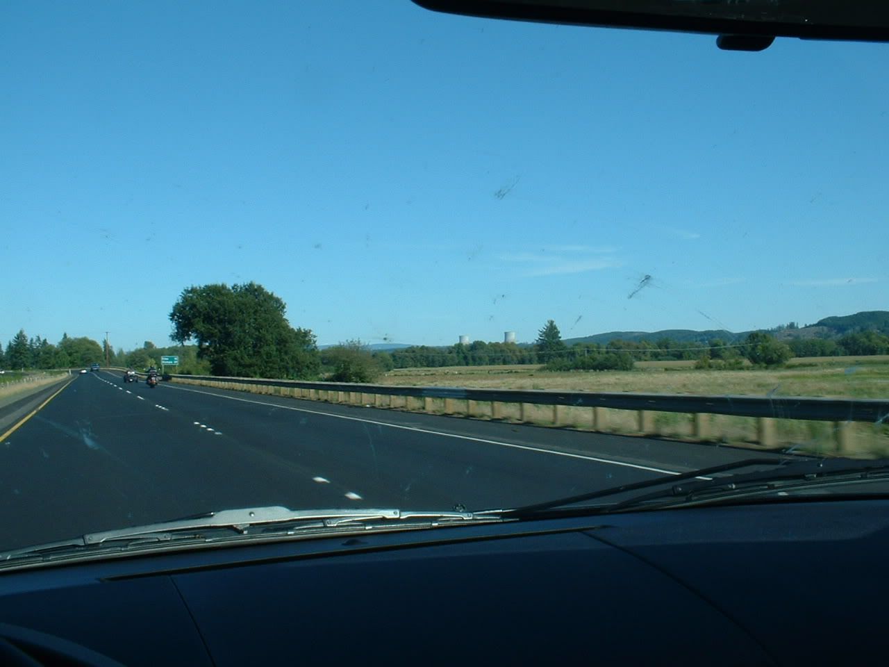
In the distance is the unfinished Satsop nuclear plant.
Hey, wait a minute...
Oh 🤬! I ended up at work, after all!
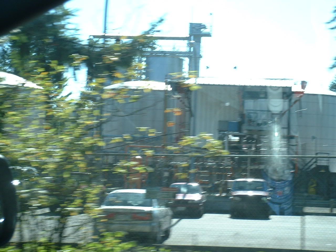
Nothing beats a good-'n-grimey chemical plant
.
Elma is a cute little rural town, which is precisely why I decided not to live there.
My daily commute sucks, doesn't it?
.This concludes my argument that Washington state kicks ass. Rebuttals are welcome, but I won't be listening.

")


 Wouldn't that be the funniest thing to see on a map?
 but it's not as hard as you might think to be safe. I found getting used to sitting ont the other side of the car was as big a problem as driving on the other side of the road. I felt all squashed up on the side of the car, it took me a while to come to terms with the inside mirror showing me what's over my right shoulder rather than my left one, and parking was trickier because I found the width of the car hard to judge - but that's because the width was all to my right, not because the car was very wide. You need to be cautious and concentrate, but it's easy to be safe. I found it much harder getting used to UK roads, even though here you drive on the same side of the road as I was used to!