- 6,009

- Austin, Texas
- D-Nitrate / GTP_DNitrate
First of all, for those who may not be aware, while digital cameras have improved over the years, most are limited to about 10 megapixels of resolution or less... which is still about five times greater than a 1080p TV.
Now just imagine photographs that have a resolution of nearly a thousand times greater, and even more in the case of the recent 14 gigapixel images of some of the paintings and art pieces in the Prado Museum in Spain.
Before I get into that though, here's a little past history:
Back in 2000, Physicist Graham Flint who has designed cameras for projects that range from cold-war espionage to the Hubble Space Telescope, set out to develop a camera that would achieve the equivalent of a resolution of 1,000 megapixels, or 1 gigapixel (one billion pixels). This is what led to the Gigapxl Project.
Using the largest roll-film format (9” x 18” / 230mm 460mm), Flint early on achieved the equivalent of 1,000 megapixels, thus the name Gigapxl. Four years ago he was then able to capture 4,000 megapixel images, and most recently even greater. With this high level of resolution, he is able to print 10’ x 20’ or even larger-scale photographs with unprecedented clarity.
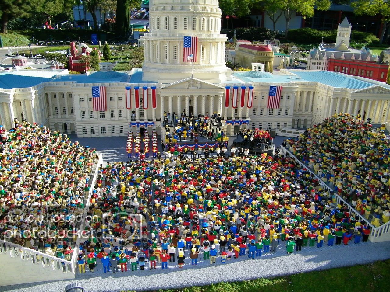
The project’s current goal is to use this technology to photograph North America's most memorable landscapes. These become part of the Gigapxl Project’s Portrait of America. The photographs to date encompass 46 states and provinces, 28 national parks, 39 state/regional parks and monuments, and 91 cities. Several of their gigapixel panoramas have been exhibited around the world.
Here is the official Gigapxl Project FAQ:
For those wanting to dig further into how they are able to accomplish these amazing photographs, here are some useful links:
However, what most will be interested in is to actually see some examples, and so here is a link to their Official Gigapxl Project Image Sample Gallery.
Google has now also gotten involved in the gigapixel game, starting with last year's addition to Google Earth for the 4.2 update which included a new photo viewing feature, the 'Gigapxl Photos' layer under the 'Featured Content' layer. This new layer showed placemarks for many places with photos that were taken with the gigapxl camera.
Some of the photos in the Gigapxl photo layer were taken by Google Earth Chief Technologist Michael Jones with the support of the Gigapxl Project.
Here is a video sample of it:
Well Google has stepped it up even further with the latest update which was made available on Monday. Now, not only does the Prado Musem in Spain have a virtual presence on Google Maps which now allows you to view several of their pieces of art via Google Maps as well as take a 3-D virtual tour of the museum via Google Earth.
However, what is truly remarkable is that you can now view the full screen, extremely detailed fourteen gigapixel images (14 billion pixels) of the artwork by using Google Earth!
The pictures have so much detail of these masterpieces of art, that viewers can zoom in to details that one normally wouldn't even notice in person.
In order to view The Prado Museum layer in Google Earth, you will first need to install the program, and then check the 3D buildings checkbox in the bottom left layers panel panel of Google Earth and type 'Museo Nacional Del Prado Masterpieces' in the 'fly to' search box, and choose Museo del Prado, Paseo del Prado.
Alternately, if you already have Google Earth installed, you can view the different pictures via Google Maps and select the 'See in full screen with Google Earth' link in the bottom right corner of each available image (if you have the Google Earth plugin enabled in your browser).
Here is another video giving a sample of this new layer:
Finally, here is the official press release from Google on the update:
Explore the masterpieces of the Prado Museum up close with Google Earth
Published on Jan 13, 2009 by Clara Rivera Rodriguez, Google Spain
This is truly a remarkable opportunity!
If anyone of you know of other gigapixel images from other sources, or have personal favorite gigapixel images you wish to share, please post them or links to them here.
Thanks!
Now just imagine photographs that have a resolution of nearly a thousand times greater, and even more in the case of the recent 14 gigapixel images of some of the paintings and art pieces in the Prado Museum in Spain.
Before I get into that though, here's a little past history:
Back in 2000, Physicist Graham Flint who has designed cameras for projects that range from cold-war espionage to the Hubble Space Telescope, set out to develop a camera that would achieve the equivalent of a resolution of 1,000 megapixels, or 1 gigapixel (one billion pixels). This is what led to the Gigapxl Project.
Using the largest roll-film format (9” x 18” / 230mm 460mm), Flint early on achieved the equivalent of 1,000 megapixels, thus the name Gigapxl. Four years ago he was then able to capture 4,000 megapixel images, and most recently even greater. With this high level of resolution, he is able to print 10’ x 20’ or even larger-scale photographs with unprecedented clarity.
The project’s current goal is to use this technology to photograph North America's most memorable landscapes. These become part of the Gigapxl Project’s Portrait of America. The photographs to date encompass 46 states and provinces, 28 national parks, 39 state/regional parks and monuments, and 91 cities. Several of their gigapixel panoramas have been exhibited around the world.
Here is the official Gigapxl Project FAQ:
- You capture billions of pixels in each exposure?
Yes! The Gigapxl camera captures single exposures on film with enough resolvable detail to support scanning at resolutions up to four billion pixels. Single-gigapixel images are slightly larger than 44,000 x 22,000 pixels in size and four-gigapixel images are twice as wide and twice as high at 88,000 x 44,000 pixels.
One way of visualizing the size of a four gigapixel image is to consider a photograph of a regulation football pitch (soccer in USA) which is 90m x 45m. A four gigapixel top-down photograph of the entire field at 1mm per pixel would cover an area of 89.4m x 44.7m, which is 99.38% of the indicated size. This mm-per-pixel scale represents perhaps as many as 100 pixels per blade of grass across an entire pitch captured in a single exposure.
- Why quote 'pixels' when you use film?
Immediately after processing, each 9" x 18" exposure is digitally scanned then archived in a temperature and humidity controlled environment. All processing and printing are performed on the resulting one to four gigapixel digital scan. Therefore, the tangible output of the camera—and all that we ever see and work with—is a digital image at one to four billion pixels in size.
Incidentally, a four billion pixel, uncompressed, 16-bit per component image is a 24 gigabyte data file. Moving, copying, editing, processing, and printing files of this scale strains the boundaries of even the most robust image processing tools. Having accomplished such tasks for more than one hundred images certainly makes us feel that we are digital photographers even though we use film in the camera.
- Why not use a digital camera?
Modern frame-exposure professional digital cameras have spatial resolutions ranging of 4-16 megapixels in "35mm D-SLR" formats and up to 22 megapixels for medium format backs. Using such cameras to create gigapixel images requires mosaicing hundreds of individual exposures. Alternatively, strip-sensors can be used to scan the image plane over a few seconds time. Even so, however, large format scanning backs have final image resolutions 1-2 decades below our gigapixel regime and require relatively static scenes, as does the mosaic approach, and are thus generally inappropriate for photos of traffic, people, water, and events. The single-exposure advantage is pronounced in images with crowds of people. The facial expressions of an half a stadium of fans can be captured at passport resolution in a single instant as they react to events on the field.
- What about "spy-satellite" cameras?
The digital imaging systems in $200M-$1000M advanced imaging satellites are roughly comparable to the Gigapxl camera in resolution. However, they are far from commercially available, require the cold of space for low-noise operation, are about the size of a school bus, and, of course, are very expensive and often contain classified technologies. These cameras are also not optimized for normal color imaging. Such devices, even if made available by a friendly national power, could not be transported to the cities and photogenic sites of the earth as is required by the goals of the Gigapxl Project.
- How big is a billion-pixel image?
If you are reading this text on a 1280x1024 computer monitor, a one-gigapixel Gigapxl image would be 35 of your screens wide and 22 screens tall. A four-gigapixel image is twice as wide and twice as high—that is, 70 screens wide and 44 screens tall. When printed at the highest resolution discernable by the human eye, these images range from 5×10 feet up to 10×20 feet in size. Compared to leading 6-megapixel digital cameras, a Gigapxl image has between 160 and 666 times the number of pixels. It also resolves an independent color triplet at each pixel unlike Bayer-pattern digital cameras. These images are big and sharp beyond anything you are likely to have seen in your life.
- Are there Gigapxl Panoramas?
Yes there are. The Gigapxl camera has a finite field of view so producing images with more than 100 degrees of coverage requires multiple exposures. One early panorama consists of eight images taken from atop San Francisco California's Telegraph Hill. This panorama—displayed with notable popularity at the Palace of Fine Arts/Exploratorium in San Francisco—reveals details not just of downtown San Francisco, but also features of the Golden Gate Bridge, Sausalito, Belvedere, Alcatraz, Oakland, and the Bay Bridge. Producing such extreme panoramas from multiple one- to four-gigapixel images is an ongoing activity of the Gigapxl Project.
- Are Gigapxl cameras available commercially?
Are instructions available for building a Gigapxl camera?
At this point in time, there are no plans to manufacture Gigapxl cameras for sale, nor are there any plans to release information that would allow Gigapxl cameras to be made by others. In the event that this policy changes, information will be available on this web site.
- Color processing on files this size must take a special computer and software?
The printing section of the technical section has yet to be added; but in short: The equipment consists of a pair of custom-made PCs with the fastest available of anything going into them and being updated continually. Photoshop CS and CS2 will handle these large files; PS7 was unsatisfactory with its size restrictions on files and pixel dimensions. Printing uses an Epson 9600 (via ColorByte ImagePrint) with Ultrachrome pigment inks on matte paper.
- What about releasing some of the large files?
Except through licensing agreements, we do not release any of our high-resolution files. Smaller files have been released for media or special use.
- Would it not be better to group 4x5 digital backs on a process or bellows camera so you can use tilt, swing and rise to get better results with fewer steps?
In principle, this approach might work. However, we caution that:- We know of no way to make individual digital backs continuous across the seams (except by very expensive fiber optic techniques).
- If you use a single 4"x5" back to take successive exposures, you cannot "stop motion."
- Also, if you shift the lens and/or digital back from frame to frame, the overall perspective is not preserved and "rubber sheeting" is required when mosaicing the result.
- The lenses used with Gigapxl cameras provide high-quality 500-mm image circles. Thus, significant shifts would entail loss of image quality.
- Finally, to obtain the information content of a Gigapxl image, one still requires ultra-precision focusing in the f/16 regime. In a Gigapxl camera, this is done by laser rangefinding and precision dial indicator focus settings. No field camera of which we are aware can match this degree of focusing precision.
- Note that in the Technical section it is pointed out that the Gigapxl cameras do allow swings and tilts.
- We know of no way to make individual digital backs continuous across the seams (except by very expensive fiber optic techniques).
For those wanting to dig further into how they are able to accomplish these amazing photographs, here are some useful links:
- Gigapxl Project Overview
- Gigapxl Technology
- Information Content
- Choice of Format
- Choice of Film
- Atmospheric Limitations
- Lens Requirements
- Theoretical Performance
- Performance Realization
- Response to Gigapxl Imagery
- Print Generation
- References
However, what most will be interested in is to actually see some examples, and so here is a link to their Official Gigapxl Project Image Sample Gallery.
Google has now also gotten involved in the gigapixel game, starting with last year's addition to Google Earth for the 4.2 update which included a new photo viewing feature, the 'Gigapxl Photos' layer under the 'Featured Content' layer. This new layer showed placemarks for many places with photos that were taken with the gigapxl camera.
Some of the photos in the Gigapxl photo layer were taken by Google Earth Chief Technologist Michael Jones with the support of the Gigapxl Project.
Here is a video sample of it:
Well Google has stepped it up even further with the latest update which was made available on Monday. Now, not only does the Prado Musem in Spain have a virtual presence on Google Maps which now allows you to view several of their pieces of art via Google Maps as well as take a 3-D virtual tour of the museum via Google Earth.
However, what is truly remarkable is that you can now view the full screen, extremely detailed fourteen gigapixel images (14 billion pixels) of the artwork by using Google Earth!
The pictures have so much detail of these masterpieces of art, that viewers can zoom in to details that one normally wouldn't even notice in person.
In order to view The Prado Museum layer in Google Earth, you will first need to install the program, and then check the 3D buildings checkbox in the bottom left layers panel panel of Google Earth and type 'Museo Nacional Del Prado Masterpieces' in the 'fly to' search box, and choose Museo del Prado, Paseo del Prado.
Alternately, if you already have Google Earth installed, you can view the different pictures via Google Maps and select the 'See in full screen with Google Earth' link in the bottom right corner of each available image (if you have the Google Earth plugin enabled in your browser).
Here is another video giving a sample of this new layer:
Finally, here is the official press release from Google on the update:
Explore the masterpieces of the Prado Museum up close with Google Earth
Published on Jan 13, 2009 by Clara Rivera Rodriguez, Google Spain
Today Google launches the Prado layer in Google Earth allowing you to explore highly detailed photographic images of fourteen of the Prado Museum's masterpieces. The Prado Museum in Madrid is one of Spain's most visited destinations and via the Google Earth layer you can view and learn about its most famous paintings such as The Maids of Honor (Las Meninas) or The Three Graces (Las Tres Gracias)
The Prado Museum has become the first art gallery in the world to provide access to and navigation of its collection in Google Earth. Using Google Earth, art historians, students and tourists everywhere can zoom in on and explore the finer details of the artist's brushwork that can be easily missed at first glance.
The paintings have been photographed in very high resolution and contain as many as 14,000 million pixels (14 gigapixels). With this high level resolution you are able to see fine details such as the tiny bee on a flower in The Three Graces (Las Tres Gracias), delicate tears on the faces of the figures in The Descent from the Cross (El Descendimiento ) and complex figures in The Garden of Earthly Delights (El Jardin de las Delicias)
The Google Earth Prado layer also includes 3D models which allow you to fly around the Prado buildings to experience the museum as if you were actually there.
To view the layer, select 3D buildings from the left panel and type 'Prado' in the 'fly to' search box. You will then be transported to the Prado Museum in 3D where you can click on an icon to view the masterpieces.
This is truly a remarkable opportunity!
If anyone of you know of other gigapixel images from other sources, or have personal favorite gigapixel images you wish to share, please post them or links to them here.
Thanks!
Last edited:
 Hard to imagine one day a low-end mobile phone will only have a 2GP camera!
 No-one ever told me that Stormtroopers were that cute!
")

")