- 161

- Lansing, MI
- GForce1015
For those of you interested, importing GPX or KLM files into the path editor do nothing as of right now.
So recreating a track is a wasted effort if it doesn't have a 600m straight but more importantly it's even worse since the gps data doesn't do anything but give a line to go over instead of actually using the GPX/KML data? Wow gold star PD. I had hope for accurately recreating tracks using the GPS but it looks like it's no better then using the image reference and tracing over thatWhat it does, at least for me is import a very small red line that you have to trace over with the track path maker.
Not only is it pointless but the GPX/KLM data file is often dwarfed by the forced start and finish straight that the app insists has to be 600 meters long.
There is no way, at least i've not found a way to enlarge the GPS file or resize the start/finish straight.
I had hope for accurately recreating tracks using the GPS but it looks like it's no better then using the image reference and tracing over that
I noticed that the GPX data loaded fine for me but the KML data froze the app.It actually broke the app when I tried to pull in kml data. Not only did nothing happen at all but I also can no longer get reference images to work either.
I have VERY little patience for stuff like this after almost 2yrs of waiting and already having made the decision to mine on to PC as soon as I can get one built.
Google Maps reference > worthless GPS function
Kml doesn't work. However you can convert to gpx. I built my hockenheim track using google earth, export to kml, then convert to gpx. It is very usefull as you have the real coordinates, length of track.
 It is impossible to recreate all the small tracks I used to race on IRL... Turns are not reproductible anyway (the angle is to big...)
Any idea if there is a way to force it to change elevation to match a gpx file? Maybe force tighter turns as well")
I figured that out about 15 minutes after I postedImporting a GPX file only gives you a 2D outline to follow, just like importing a JPEG. It does not 'create the track for you'.
The only advantage is that it will automatically be to scale, so you don't have to do the math yourself as you have to with a technical drawing.
 PD, Y u no elevation change?
Yes, I guess it would be very easy for them to implement it using GPX ir KLM data filesThe lack of elevation change on these tracks is horrible. I get not being able to define it ourselves but 90% of the areas we're given have very little "abrupt" change to it.
I'm thinking I may need to uninstall and reinstall the app today to fix the image issue I'm having now after the kml episode :-(
I'm thinking I may need to uninstall and reinstall the app today to fix the image issue I'm having now after the kml episode :-(
I get the same problem.Yep, I tried overlaying the gpx/kml files and now I can't get the app to work. Even tried reinstalling, for some reason, I can't use any overlays. Strange.
Here is what I find ridiculous about the track path editor. The scale of it is just so wrong.
I just went on a 5 mile drive and recorded my GPS data. Now when I paste it into the app its the equivalent to about a 1 mile drive.View attachment 455506
Here is what I find ridiculous about the track path editor. The scale of it is just so wrong.
I just went on a 5 mile drive and recorded my GPS data. Now when I paste it into the app its the equivalent to about a 1 mile drive.
Look at the red line 5 miles long but look at the "300 meter" straight in comparison. Two year wait for this fiasco and one of the main advertised features that was a major factor in me buying the game.
Ah well, back to driveclub.
Oh, if anyone knows how to scale up the GPS data to the correct size please let me know. Thanks.
View attachment 455506
I can rotate the GPX date around but sadly i can't resize it. But the more i think of it, i think the GPX data is importing correctly but the app seems to be a bit out when it comes to scale.Can you pinch/zoom the data once its overlayed? Yeah, that's no good. I tried the same, driving my neighborhood and tracking the route. I downloaded the GPX file and I get nothing. Oh well, I'm sure V 2.0 is around the corner.
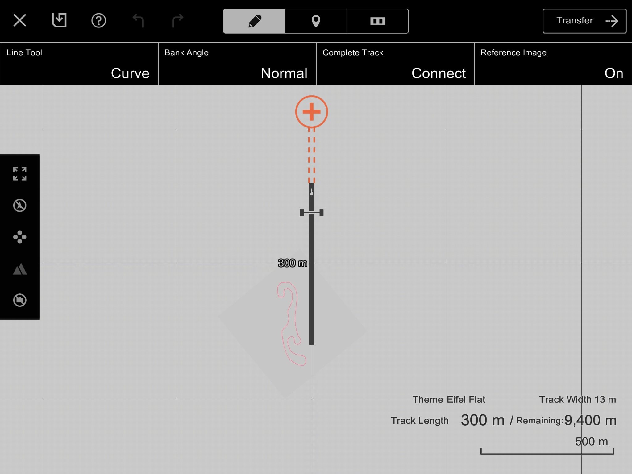
Yep, i think you're right there.The straight 600 meters long. I guess the 300 meter figure is the track length, which seems to start after half the straight (presumeably where the grid begins?).

I tried this way several times. When I go to convert my KML it gives me an error saying "The file could not be converted!"What kind of track do you do ? Place mark ? Path ? Or something else ?
EDIT 1
I was finally able to do it !! You need to create a Path on google earth (it also works on maps), then save it as a kml file and then you can convert it with this and then you can send it to your tablet and then you can import it !
Don't get your hopes up, in the end it is exactly as a jpg import, you have to draw your track over it... The only advantage is that the scale is right.
EDIT 2
It works perfectly well with kml file in maps, you just have to create a line (not a waypoint, not poly) => like this.
The 600m start line i just awful
Well, it is the right scale btw, down there you have a 1000m marked scale. By guess from your pic your path was roughly 8 km long which is around 5 miles, no problem with the scale.Here is what I find ridiculous about the track path editor. The scale of it is just so wrong.
I just went on a 5 mile drive and recorded my GPS data. Now when I paste it into the app its the equivalent to about a 1 mile drive.
Look at the red line 5 miles long but look at the "300 meter" straight in comparison. Two year wait for this fiasco and one of the main advertised features that was a major factor in me buying the game.
Ah well, back to driveclub.
Oh, if anyone knows how to scale up the GPS data to the correct size please let me know. Thanks.
View attachment 455506
")